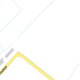
KN Kuperusstrjitte, Marsum
Quiet village living — spacious & green, but surprisingly loud
Overall verdictFits best with Family with children
Energy label B, plenty of greenery, spacious owner-occupied homes and very few registered crimes.
Surprisingly high traffic noise (64 dB), amenities at a distance and a hazardous-substance activity within 1 km.
- Energy label B — relatively low consumption
- A great deal of greenery in the surroundings (74%)
- Spacious owner-occupied single-family homes (97% single-family)
- Very few registered crimes
Is this address right for you?
Spacious single-family homes, a village school nearby, safe and green.
Frisian-speaking village; a car is virtually essential.
Low entry price, but a more limited, local market.
Village-like, but the measured noise level (64 dB) is higher than expected.
Amenities at a distance — supermarket 3.3 km away.
Few amenities and a thin, local housing market in the countryside.
Questions for the agent
Facts about the home
Energy label & consumption
Label B is favourable for a home built in 1972 — relatively low consumption and lower expected heating costs than an average home of that age.
Housing & population in Marsum
Marsum is a small, non-urban village: almost exclusively single-family homes, much owner-occupied. Suits those seeking space and quiet who have a car.
This neighbourhood on the scale of the Netherlands
National reference: CBS / Police, 2024.
Liveability Monitor 3.0 · 2024 measurement
In plain terms: around the national average. Housing and social cohesion just positive; amenities score lower — logical for a village.
Registered crimes · 2025
With 27 crimes per year this is a very safe environment. Most reports concern vandalism, not burglary or violence.
Air, noise, greenery & climate
Clean air and exceptionally much greenery, but the noise level (64 dB) is strikingly high for a village — probably a nearby through road. Check this on site.
Primary schools within 2 km
Asking price versus the neighbourhood
An asking price above the neighbourhood average WOZ is not unusual in a tight market, but it says little without comparable sales. Neighbourhood WOZ also mixes different home types.
With a low entry point (~€239k neighbourhood average WOZ valuation) this is affordable, but the local market is thinner — comparable sales are scarcer, so reliability is lower.
What does this cost per month?
Viewing checklist
Sources & resolution
Per-address data comes only from PDOK (BAG + Location server) and EP-Online. All other figures apply to the neighbourhood or municipality. That's why we say “in this neighbourhood”, never “this house”. Addresses are linked by PDOK to the nearest existing address.